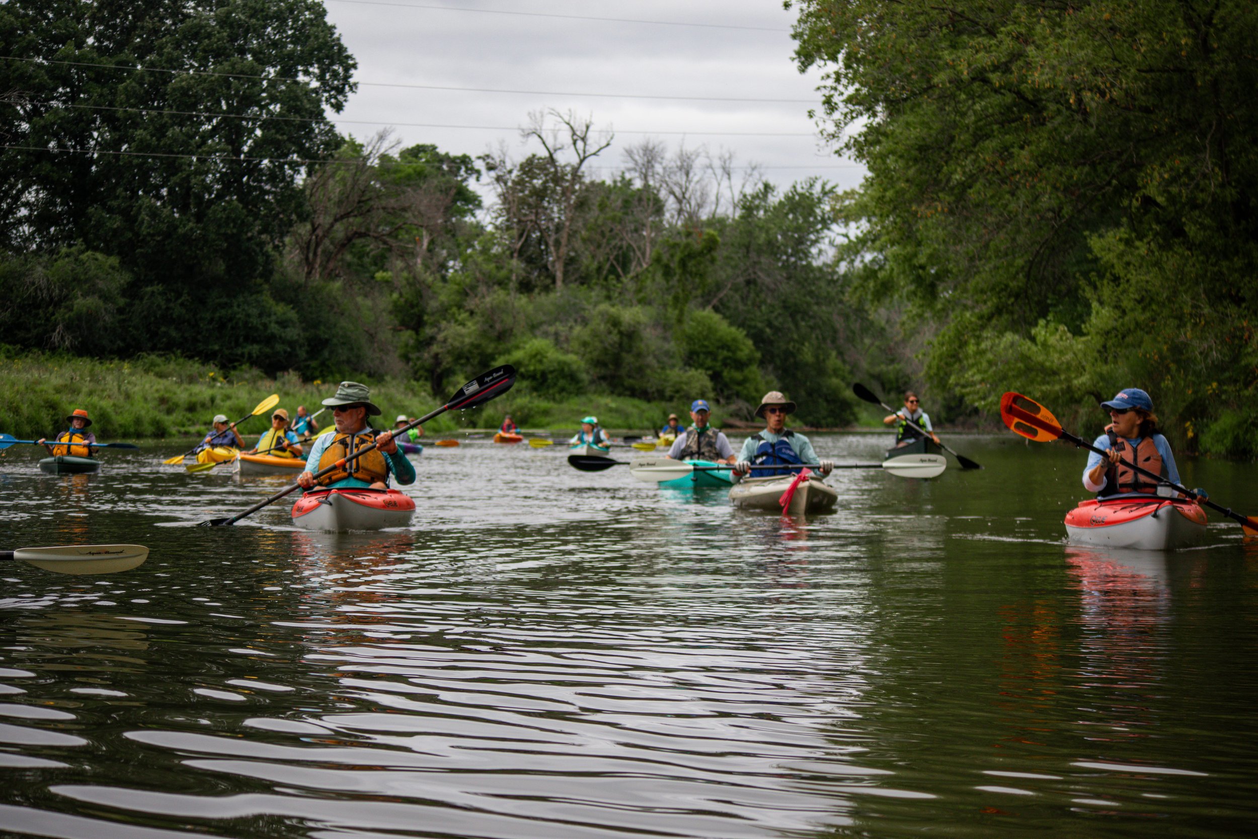
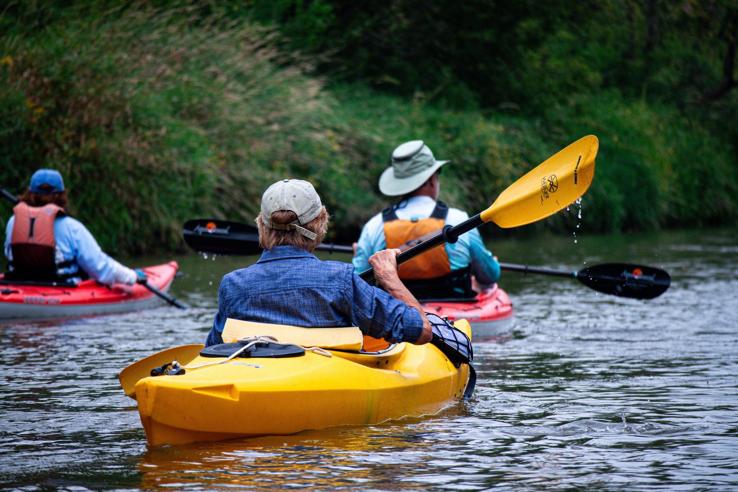
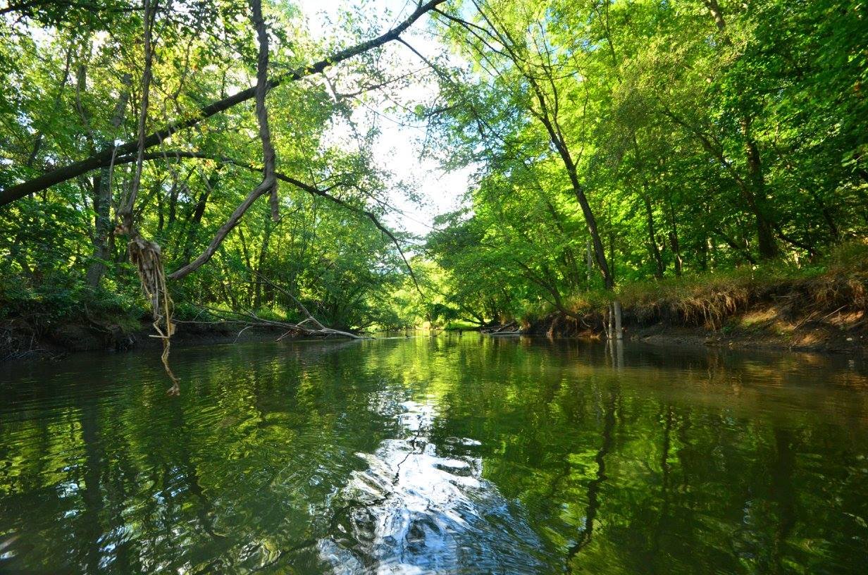
The Baraboo River is a DNR designated State Water Trail.
National Water Trail
Baraboo River Application

It’s Happening!
UPDATE: The Friends application was rejected for the sole reason of lack of signage at each of the launch sites. The National Park Service asked that we reapply once signs have been installed. We hope that our DNR grant request to do just that will be approved. If so, we will reapply before the November 1st deadline. We will keep you updated.
The Friends of the Baraboo River has applied to the National Park Service to have the Baraboo River designated as a National Water Trail. This distinction is granted to rivers of special significance. The unique landscape and history of settlement by Indigenous Peoples and early Euro-American settlers provides a rich background for our application.
“National Water Trails have been established to protect and restore America’s rivers, shorelines, and waterways; conserve natural areas along waterways; and increase access to outdoor recreation on shorelines and waterways. The Trails are a distinctive national network of exemplary water trails that are cooperatively supported and sustained.”
Critical to the success of this application are letters of support or resolutions by municipalities that provide a public launch.
Resolutions of support were passed by:
City of Elroy ~ Village of Wonewoc ~ Town of La Valle ~ Village of La Valle ~ Town of Reedsburg ~ City of Reedsburg ~ Village of Rock Springs ~ Village of North Freedom ~ Town of Baraboo ~ City of Baraboo ~ Village of West Baraboo
~ Sauk County Board of Supervisors ~ Columbia County Board of Supervisors ~ Juneau County Board of Supervisors
Letters of Support were received from:
Reedsburg Chamber of Commerce
Baraboo Chamber of Commerce
Wisconsin Department of Natural Resources
We very much appreciate the support received for this application. So, now we wait for the National Park Service to evaluate it and determine if the Baraboo River meets the merits required for a National Water Trail designation.
We will keep you posted!
There is no federal control or "taking" associated with [the NWT] designation. NPS asks that trails be kept maintained for public recreational use, but that is under the control of local and state jurisdictions and the federal government only plays a role where the federal government is already in a land management capacity on a national park, wildlife refuge, forest, etc. In the end, the NWT designation is akin to a “stamp of approval”.
Christopher Morgan, MNRES, Community Planner, National Park Service – RTCA Midwest Region
The National Water Trail designation is an award of recognition, it does not confer any restrictions or financial burdens on the waters, shorelines or organizations of the water trail. The federal government does not take any property on both sides of the river, there are no easements or boundaries set by this designation. It is merely a seal of approval, a gold star if you will, that the water trail meets all the criteria to be an exemplary existing water trail.
~Andrea Irland, formerly with the National Park Service
National Water Trail FAQs
Please be aware that the Friends of the Baraboo River does not offer legal advice. What follows is our understanding of river law. For definitive answers, please contact the Wisconsin Department of Natural Resources.
-
National Water Trails (NWTs) are a sub-category of the National Recreation Trail Program. The sub-category of “National Water Trails” was allowed through the National Trails Act and clarified by Secretary’s Order (SO) 3319 as a means to acknowledge the different management needs of land-based and water-based trails for access, recreation, visitor use and safety, as well as marketing and tourism purposes.
-
No. NWT designation does not have the potential or the authority to condemn or limit private land use. All designated trails must already have existing public access, legal easement, or fee title along the entire length of the land segment or along navigable public waters, in the case of a water trail. Public access includes trailheads or river access points. All jurisdictional “landowners” (launch site ownership) along the trail must document their support in writing as part of the application process.
-
There is no real, implied, or intended additional restrictions on adjacent land use generated by Federal recognition other than what is already in place by the management entity, local zoning, or State law.
-
No one owns the river. It is held in the public trust and as such is open to anyone's use, both residents and nonresidents of Wisconsin.
-
The trail will run from the launches upstream at Hillsboro and Elroy to the last launch downstream in Columbia County.
-
No. The NWT applies ONLY to the river, not to the shoreline. While the National Recreation Trail requires landowner permission in writing (land access), the National Water Trail does not since all access to the river is by public launches. These are two different application processes.
-
Paddlers may portage on private land in order to move around a logjam that blocks river navigation.
-
No. Logjam removal requires a process that includes communication with landowners for permission to step onto private land during the logjam removal process.
-
Cutting through a logjam area means only opening a path wide enough for navigation. Best practices require that tree debris along the shoreline not be disturbed.
-
No. This is governed by the Ordinary High Water Mark rule. Basically, paddlers must "keep their feet wet."
Scroll down to find the document that explains the law.
-
None. There are no financial obligations placed on municipalities other than planned maintenance of launch sites for public use, as defined by each municipality.
Ordinary High Water Mark


What does this means for the Friends of the Baraboo River?
The National Water Trail designation places responsibility on the Friends of the Baraboo River to seek grants and work with land owners to help maintain the navigability of the river. It does not require that the Friends of the Baraboo River encumber government entities, such as village governments, to participate in the grant writing and management process.
The NWT designation also requires the Friends of the Baraboo River to educate the public in best practices, including LEAVE NO TRACE BEHIND - which means no littering of the river. To that end, the Friends have developed an app that provides:
real time river gauge information
a paddle tour that allows individuals to track their paddling progress down the river
instructions to text 911 to engage emergency services geolocation capabilities
audio that describes the next stretch of river and opens as a paddler approaches an upcoming launch
information about local communities and possible places to visit, such as local restaurants

Let’s work together.
The Friends of the Baraboo River is interested in your comments, concerns, and questions. Please complete the form below to share them. Someone from the Friends of the Baraboo River will respond ASAP.