The Baraboo River: a look overtime
by Jeff Seering
Rivers change. It’s what they do. Spring floods rearrange downed trees and over time rivers cut new channels, even small ones like the Baraboo River. It happens in rivers big and small.
In the 1970s I piloted a tour boat on the Lower Dells of the Wisconsin River. I still frequently kayak fish that part of the river and can’t help but notice the changes. Since the 70s pieces of rock formations have broken off . The river itself is lower than it was back then. I’d say in the last few years the Wisconsin in the Dells is a good foot or two lower than its typical level 50 years ago. The river in the 70s was two to three fee lower than it was in the 1890s based on the 19th Century photos of pioneer photographer H.H. Bennett. But perhaps no river in the state has changed more than the Baraboo. While it is small, it still will cut new channels over time, creating oxbow ponds now separate from the river. Between LaValle and Reedsburg the river recently cut a very narrow channel straight through a big curve, a narrow channel that will likely expand over time, leaving the old curve of the river as a new oxbow pond.
That isn’t the biggest change. It’s been 25 years since the last dam was removed from the main stem the river in Baraboo, making the Baraboo one of the first restored free flowing rivers in the United States, helping start a national trend of removing dams to restore the health of rivers. When I was a kid growing up outside of Reedsburg, the city had still its Woolen Mill dam in place. It created a muddy, shallow, carp filled millpond. It didn’t bother my brother Dan and I. It was all me knew. We’d load up my Dad’s 8-foot wood pram on a red wagon and tow it a quarter mile down County V to Hay Creek, which was backed up by the Woolen Mill dam. We’d row the pram around the islands by Webb Park, feeling superior to the landlubber kids watching us row by in the park. We felt like adventurers rowing in the back waters of the millpond.
Hay Creek was backed up enough by the dam that foul balls from the Webb baseball field sometimes made it into the water. North of the County V bridge, Hay Creek had a small island we called Milooki, a frequent skinny dipping spot. The back waters of the mill pond were filled with carp and I speared spawning carp in the spring, feeling good about removing the trash fish from the river. The first fish I ever caught was a big carp out of the millpond when I was five years old. There are still carp in the Baraboo and probably always will be. But you don’t see them very often, unlike when I was growing up when you would see 20-30 carp wakes when nearing shallow areas of the millpond.
The Woolen Mill dam was removed around 1973, a few years after the Woolen Mill closed for good and the building was destroyed by a fire. There was no restoration plan for the mill pond. The silt settled and dried out, leaving what my dad called a “weed patch” in its place. The mill pond islands retained their trees. To be honest, the drained mill pond was not very attractive those early years. Though it wasn’t deep, the muddy millpond was nice to look at from the Main Street bridge. Where my Dad and others saw a weed patch, Roger Popple, a biology/environmental science teacher at the Reedsburg high school, saw opportunity. He and his students designed and built a nature trail system in the old mill pond area that came to be known as the Roger Popple Nature Area. In the past decade, the Wisconsin group has built a disc golf course there and it is quite popular.
The Reedsburg experience led to public concerns when it was proposed that the last dams on the river be removed in Baraboo and La Valle. The La Valle Mill, which was still using water power to grind grain through the early 1990s, closed. The Sand County Foundation purchased the mill with the intent of removing the dam. Before it started the removal, it held public meetings at which La Valle residents expressed strong concerns about losing their very scenic mill pond. A compromise was reached. A new pond was created where the old one was, but was separated by land from the river channel.
In Baraboo there were also public concerns about removing the dams there, though the mill ponds in that community were not as wide as those had been in La Valle and Reedsburg. When the Baraboo dams were removed, fish could now migrate from the Wisconsin River near Portage all the way up to the Baraboo River headwaters. DNR studies showed fish were doing just that. Sturgeon have returned to the Baraboo. More rapids were exposed in Baraboo with dams gone.
(Watch the Running Free video on the removal of the dams on the Baraboo River. )
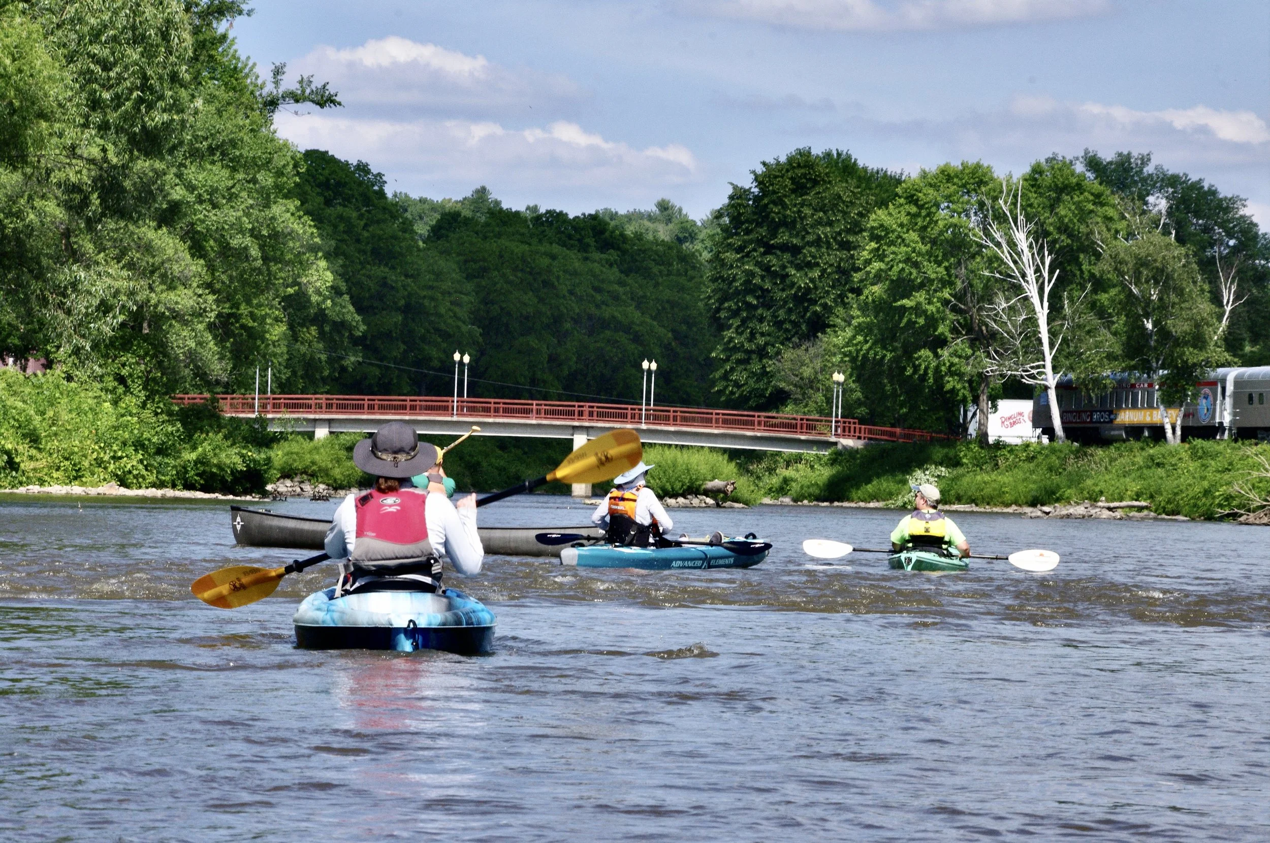
In 2001 I was part of a Reedsburg Chamber of Commerce group that held the very first Lazy Beaver Canoe and Kayak Race on the Baraboo between La Valle and Reedsburg. The goal we had was to promote recreational use of the river, something identified as an underutilized resource in the city plans of Reedsburg and several other river communities. In the 25 years since the Lazy Beaver began, I have noticed many changes in the river. In the last two decades of the 20th Century, two priority watersheds were established in the watershed, projects that encouraged farmers and landowners to do projects to reduce runoff and fertilizer pollution. Thanks to the support of the farm community, the river is running cleaner than it ever has in my lifetime.
When I was a kid, I remember being told there was once a sand bottom to the Baraboo River between La Valle and Reedsburg. A swimming hole on the Baraboo was a frequent subject of a nationally popular comic drawn by Reedsburg native Clare Briggs early in the 20th Century. I didn’t believe the account of a sand bottom because all I ever saw and experienced was Baraboo River mud. In the last five years the sand bottom has emerged again. Most of the river between La Valle and Reedsburg has a pretty firm sand bottom. There are sand bars in places along the river banks. It is a very, very fine sand in comparison to the very granular sand you find on Wisconsin River beaches. Something else that has emerged are green aquatic plants on the river bottom, something I never saw 25 years ago.
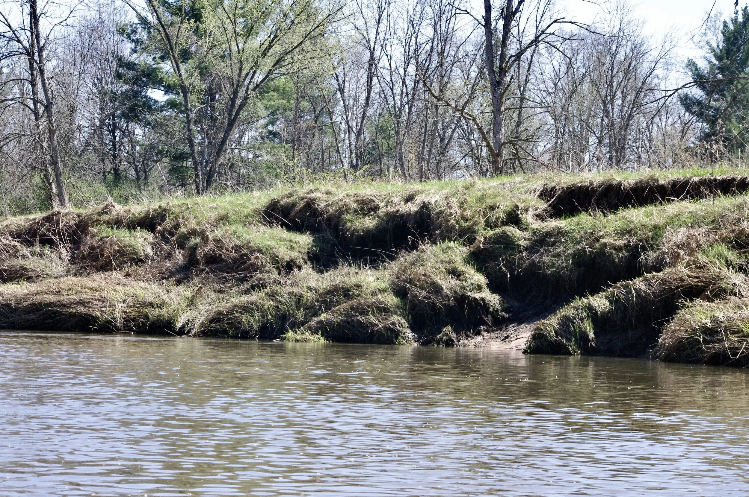
The river appears to be scouring itself clean over time without the sediment traps that dams create. Where there’s mud, it is on the inside of river curves where the current is slack. The Baraboo is still a murky river and it still deposits sediment on the shores when the river rises and falls. It will likely never be a crystal clear river. The murkiness is caused by it high, steep river banks in the upper reaches. There are miles of exposed dirt banks. You often see chunks of sod that have slid down the banks toward and into the river. Those high banks aren’t easily accessible as much of the riverside in the upper reaches consists of lowland floodplain forests. The sheer amount of eroding banks would be cost prohibitive to address. A side issue with the eroding banks is that high water washes away soil around tree roots, causing several trees to fall into the river each year. 2026 has been a big year for tree falls on the Baraboo, which made getting ready for the Lazy Beaver its biggest challenge in years as openings needed to be cut through several tree falls.
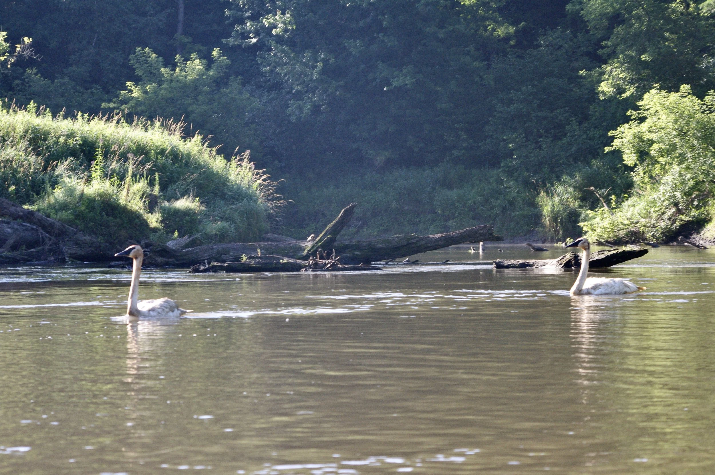
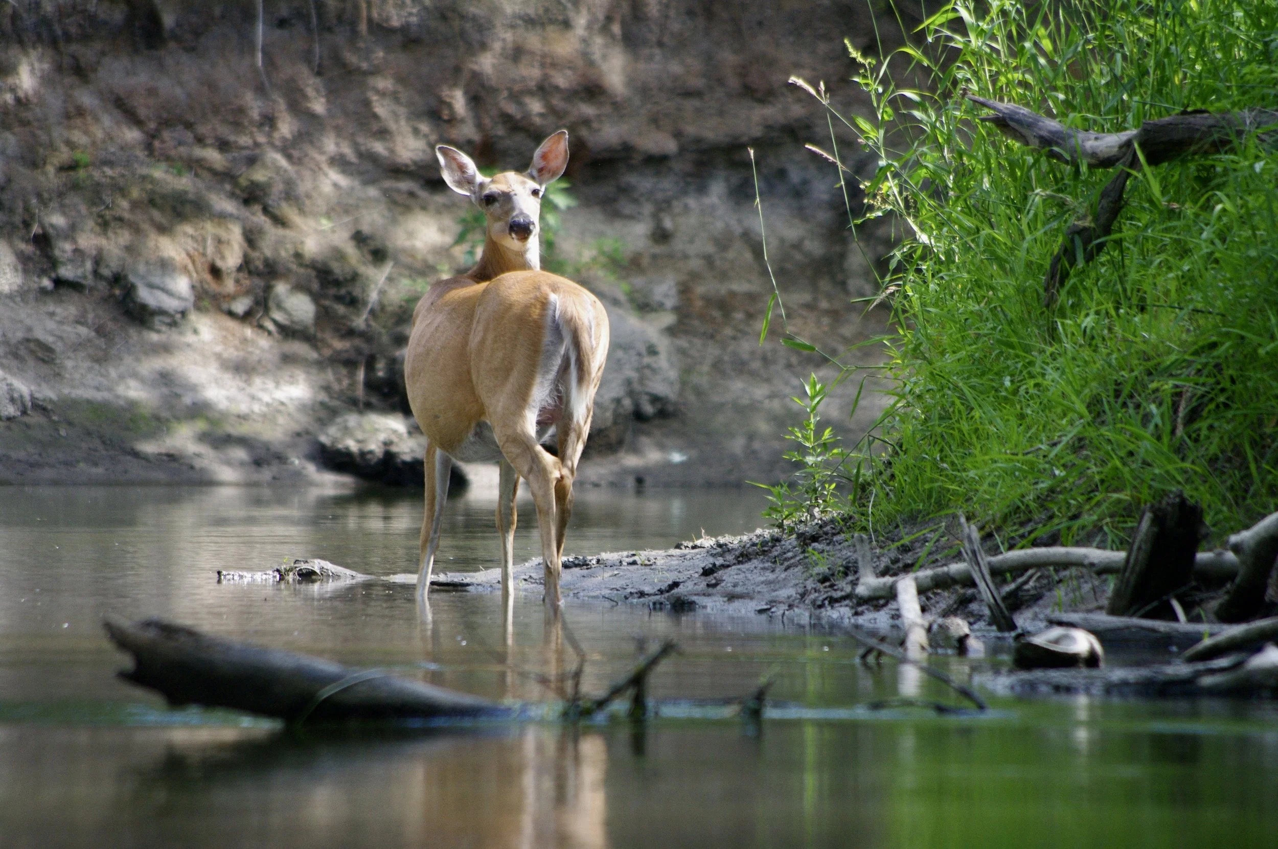
Another change in recent years has been very low summer water levels, six inches to a foot below what they were in 2001 when the first Lazy Beaver was held. I think that is true of most of the Wisconsin River watershed. Recent years have been drier overall, though there were record floods in 2008 and 2018. Wildlife along the river has also changed. It’s not unusual to see sandhill cranes and bald eagles on paddling trips, in addition to scores of wood ducks, lots of deer and other critters. If the number of kingfishers you see is any indication, the Baraboo has a very healthy fish population these days. We never saw cranes or eagles when I was growing up.
The Baraboo River has an interesting geological history in that most of it is in the Driftless Area, the part of Wisconsin that was not flattened by the most recent glaciers but dumps into the Wisconsin River near Portage in a fat, glaciated area. The Baraboo River Valley was at one time the bottom of a large bay of Glacial Lake Wisconsin, created after the glaciers melted thousands of years ago. Between Union Center and LaValle there are some impressive sandstone cliffs near the river. Between Reedsburg and La Valle and most of the way to Rock Springs, the river passes through floodplain forests, which are filled with deer and many others sorts of wildlife. At Rock Springs the river passes through Ableman Gorge, a very scenic area. The Baraboo rapids are the only stretch of sustained rapids in southern Wisconsin.
The river itself remains its own quiet, little piece of the world. It doesn’t seem to change much, but it mostly surely does.